Irish Historic Towns Atlas Online
Traditionally Irish Historic Towns Atlases (IHTA) have been available in printed format only, with CD-ROMs included from no. 19 (Dublin, part II, 1610 to 1756). Digital editions of selected atlases are now available to explore online, free of charge.
What is included in the IHTA online editions and how do they differ from the print atlases?
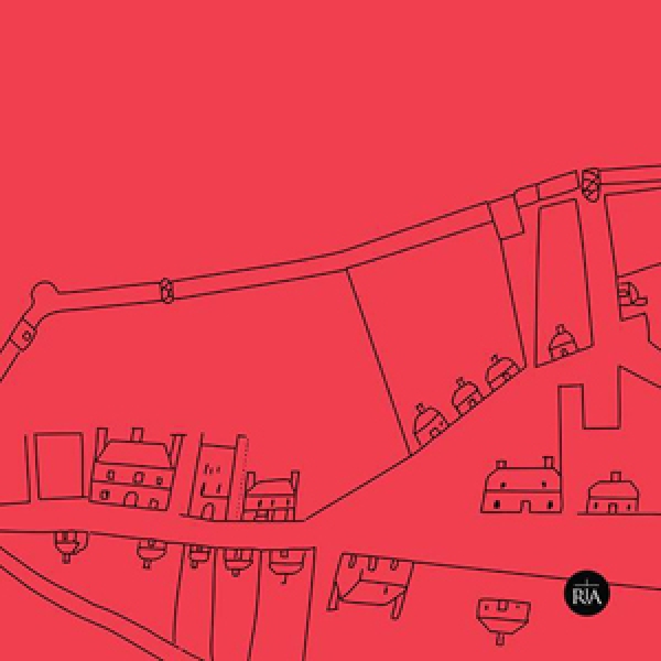
The digital editions include the full text (essay, topographical information, bibliography, appendices, notes) for each town or city, as well as select maps. The three key or core maps are included with their associated legend sheet:
- Map 1 (nineteenth-century Ordnance Survey, 1:50,000)
- Map 2 (IHTA reconstruction based on town plan c. 1840, 1:2500)
- Map 3 (modern Ordnance Survey,1:5000)
along with an IHTA growth map (if available).
Each town type will be published online with the relevant chapter from Reading the maps: a guide to the Irish Historic Towns Atlas by Jacinta Prunty and H.B. Clarke (Dublin, Royal Irish Academy, 2011).
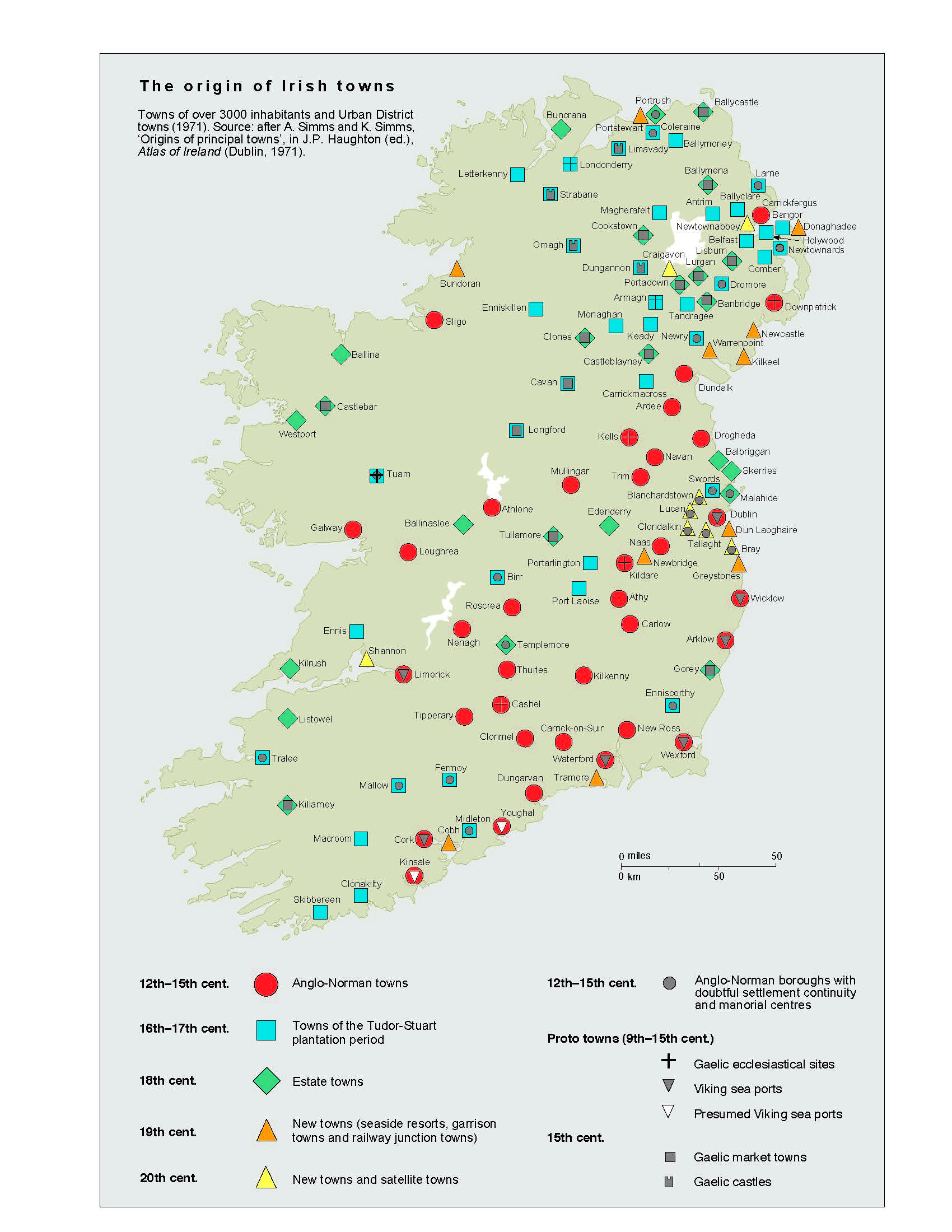
Origins of principal towns (click on thumbnail for downloadable version)
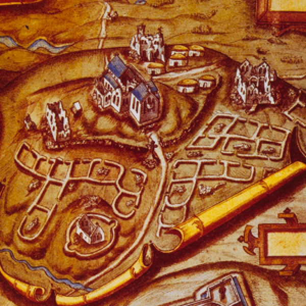
- The so-called 'monastic town', pp 162–9.
- The Viking town, pp 170–9.
- The Anglo-Norman and English town, pp 180–9.
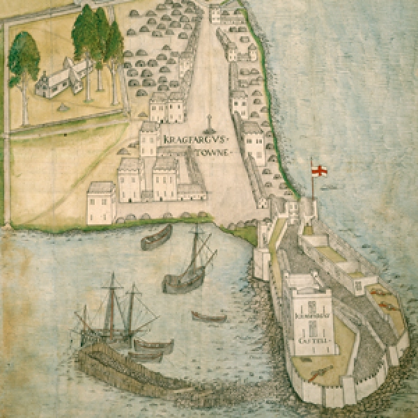
- The early modern, Gaelic and plantation town, pp 190–201.
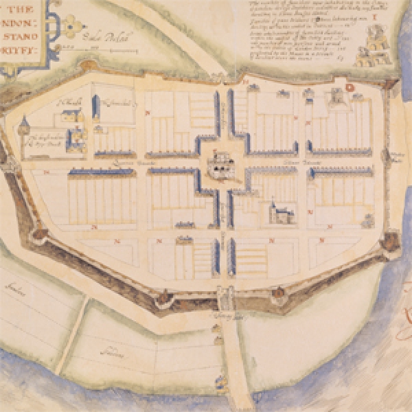
- Towns in the eighteenth century, pp 202–13.
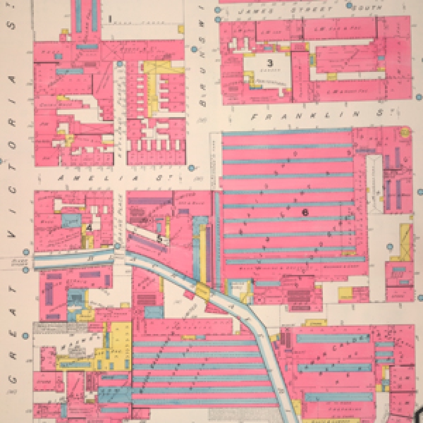
- Towns in the nineteenth-century, pp 214–27.
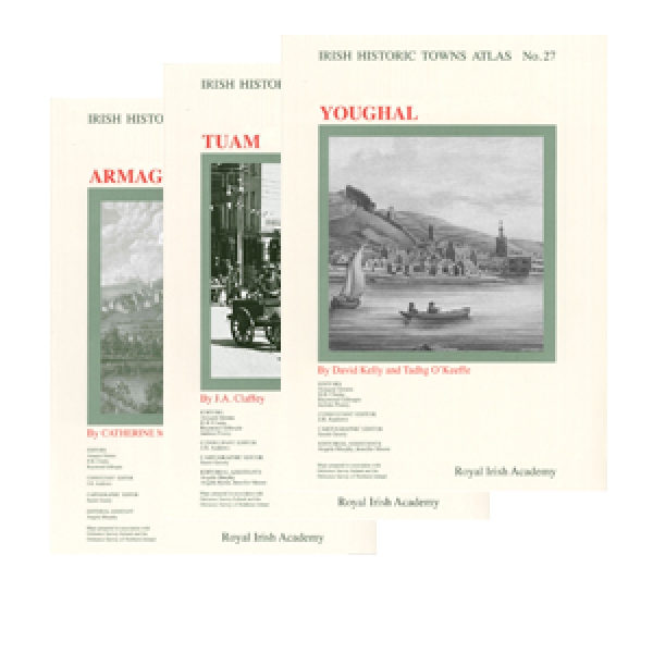
Printed atlases and associated publications may be purchased from our online shop. The online versions were created in association with Eneclann.
*If you are using a PC it is best to user a browser other than Firefox (the watermark is distorted when viewed this way).