Irish Historic Towns Atlas Online: Dublin, part III, 1756 to 1847
Irish Historic Towns Atlas no. 26 Dublin, part III, 1756 to 1847 by Rob Goodbody was originally published in 2014.
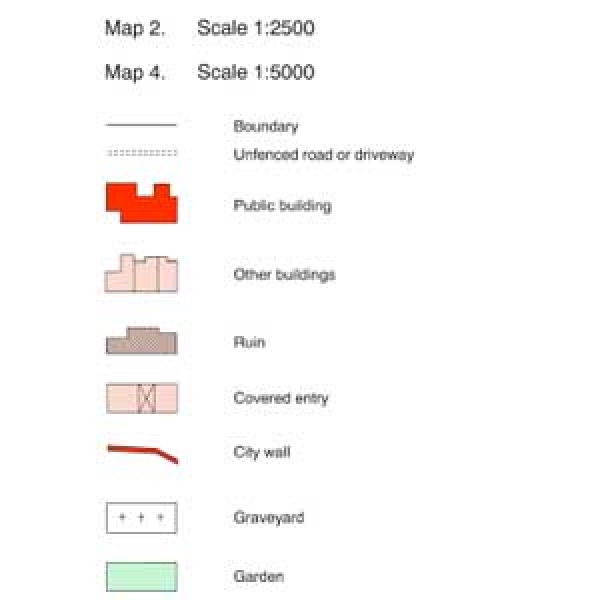
The online version contains the cover, general abbreviations, essay, topographical information, select bibliography, maps 1, 2, 3, 4 and legend sheet to map 2. Users are encouraged to reference this digital edition in their work. Each pdf includes a guide to citation and usage on its introductory page.
Due to copyright restrictions certain historical maps and images that are available in the printed edition can not be included in the digital edition. The full list of contents of the published original is on page 2 of the cover so you can see what extra materials are available in the printed version. On page 3 of the cover you will also find a general introduction to the IHTA. The general abbreviatiosn for the series is included as a separate pdf.