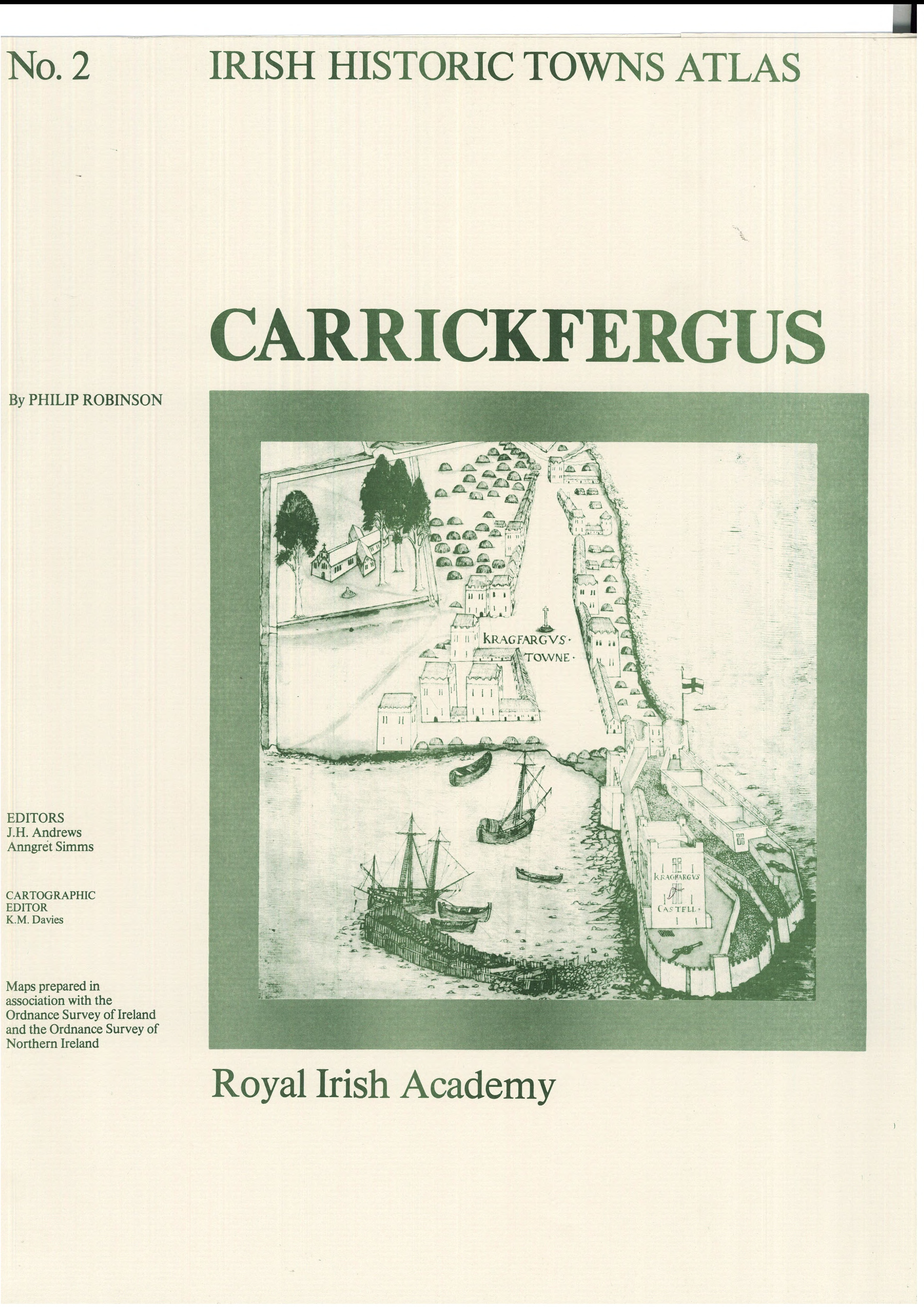
Carrickfergus
Book Details
Published by Royal Irish Academy
November 1986
Sheet map, foldedNumber of pages: 16
ISBN: 9780901714527
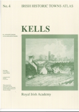
Number 2 in the Irish Historic Towns Atlas series assembles towns of the Irish Historic Towns Atlas, Carrickfergus illustrates the development of the Northern Irish town in County Antrim by tracing the histories of c. 250 sites in the town. Combined in a large folder are one coloured map, seven pages of black and white maps and plates and 16 pages of text. These towns illustrate characteristic periods of town formation in Ireland and reflect the country's cultural identity through the town's topographical history.
About the authors

Philip Robinson
J.H. Andrews
John Andrews was a consultant editor of the Irish Historic Towns Atlas project in the Royal Irish Academy. He was formerly an Associate Professor in the Department of Geography, Trinity College, Dublin. He was an authority on the history of mapping in Ireland and amongst his many publications are Irish Historic Towns Atlas, no. 1, Kildare (1986) and Irish Historic Towns Atlas, no. 5, Mullingar (1992) with K.M. Davies.
Anngret Simms
Anngret Simms is an editorial board member of the Irish Historic Towns Atlas, a research project of the Royal Irish Academy. She is Professor Emeritus of Historical Geography at University College Dublin. She is a member of the Royal Irish Academy. Jointly with Howard Clarke she represents Ireland on the International Commission for the History of Towns, where she serves as a convener of the atlas working group. Her main research interest is the comparative history of towns in western (Ireland) and central Europe. She is author of Irish Historic Towns Atlas, no. 4, Kells (1990) with Katharine Simms and joint editor (with Howard B. Clarke) of Lords and towns in Medieval Europe (2015).
Related News & Events

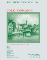
Cork/Corcaigh officially launched!
The celebration of the launch of Irish Historic Towns Atlas no. 31 Cork/Corcaigh by H.B. Clarke and Máire Ní Laoi took place in Cork City Hall on Tuesday 14 May and continued with the IHTA Seminar 'Marshland to Metropolitan City' on Wednesday 15 May in the former Cork Savings Bank on Lapp's Quay.


New online Digital Atlas of Cork/Corcaigh launches today
Today marks the launch of the Digital Atlas of Cork/Corcaigh, a free online interactive map that invites you to discover the built heritage of Cork City in a new way where 6,245 features of the city's history from AD 623 to 1900 are mapped.