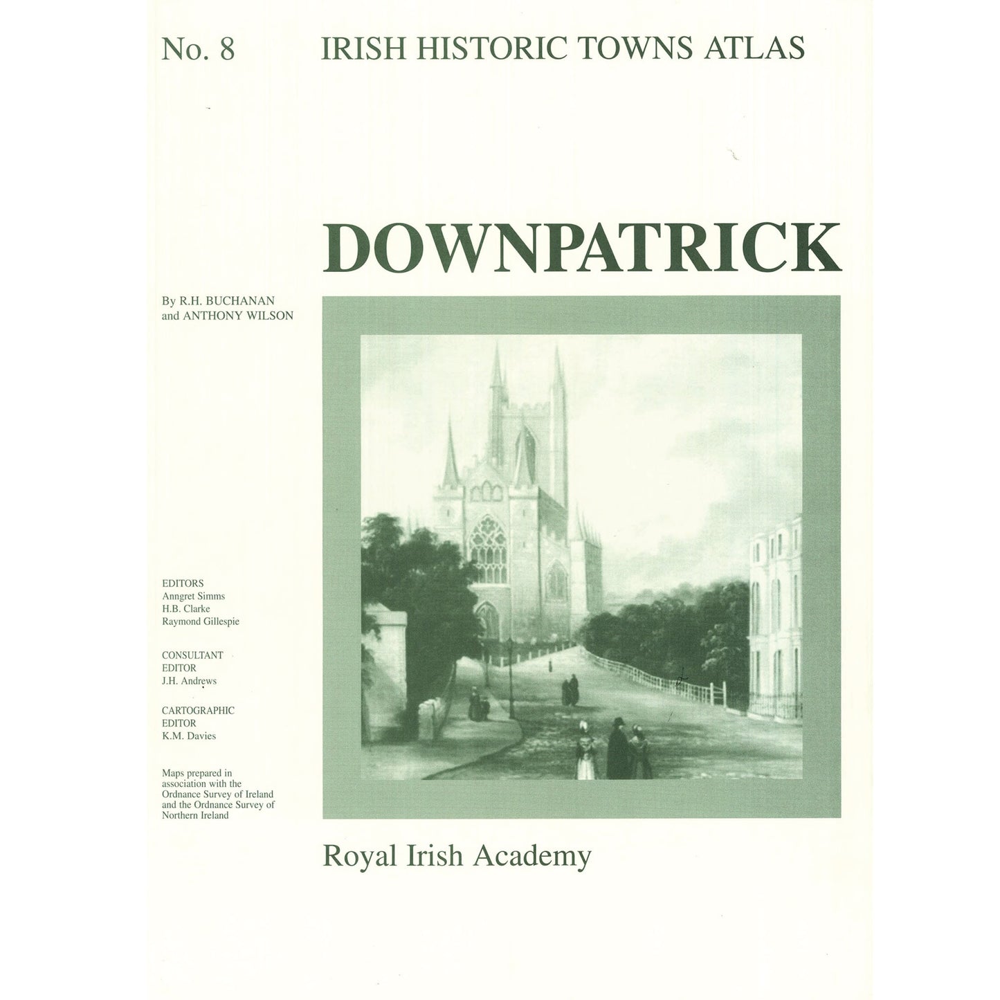
Number 8 in the Irish Historic Towns Atlas series, Downpatrick traces the history of this monastic town through its cartographic and primary sources from earliest times to c. 1900. The fascicle contains Ordnance Survey and historical maps as well as historic and aerial photographs. An essay describes the topographical evolution of Downpatrick and a gazetteer, or topographical information, includes histories of over 500 sites in the town. These atlases illustrate characteristic periods of town formation in Ireland and reflect the country's cultural identity through the town's topographical history.
4 pages of coloured maps 410 mm x 305 mm; 4 pages of black-and-white maps and plates and 16 pages of text 410 mm x 305 mm; in a folder 410 mm x 305 mm
Authors: R.H. Buchanan, Anthony Wilson; Series editors: Anngret Simms, H.B. Clarke, Raymond Gillespie; Consultant editor: J.H. Andrews; Cartographic editor: K.M. Davies.
The Irish Historic Towns Atlas is a research project of the Royal Irish Academy and is part of a wider European scheme. www.ihta.ie.