Digital Atlas of Fethard
The Digital Atlas of Fethard is a collaboration with the Irish Historic Towns Atlas, Fethard Historical Society and the Heritage Council.
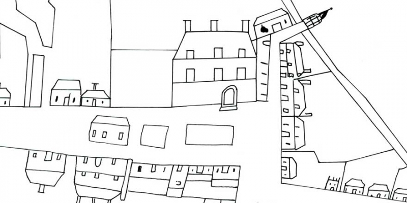
Content for the Digital Atlas of Fethard is from the Irish Historic Towns Atlas (IHTA) no. 13 Fethard by Tadhg O’Keeffe, originally published in 2003. Users can view historical and topographical information about Fethard through history. Students from Presentation Secondary School also provide a layer of illustrations of Fethard’s significant sites.
For further details about the project and acknowledgements please see the information section of the Digital Atlas.
*The Digital Atlas of Fethard is currently undergoing some changes and will be back soon!
Click here to visit the Digital Atlas of Fethard.