Digital Atlas of Fethard launched
27 August 2018As part of Heritage Week, the Digital Atlas of Fethard was launched after a conference and walking tour
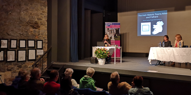
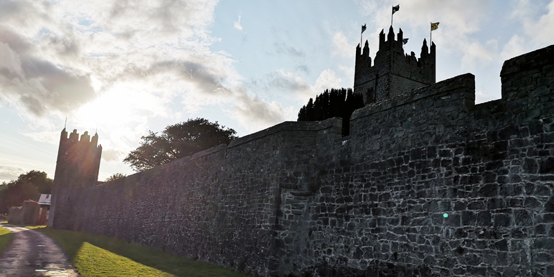
Sarah Gearty, IHTA, officially launched the Digital Atlas of Fethard on Friday 24 August 2018 in The Abymill, Fethard. It plots over 80 topographic sites via ArcGIS from the Irish Historic Towns Atlas, no. 13 Fethard by Tadhg O'Keeffe originally published in 2003, and also includes a layer of drawings by the students of transition year from the Patrician Seconday School, Fethard and is free to search online at www.digitalatlasfethard.com.
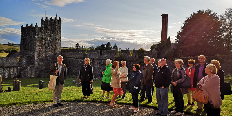
The launch was celebrated at the culmination of a conference and walking tour of the town. Marie Taylor, Barry Reilly, David Butler, Sarah Gearty and Rachel Murphy spoke during the conference and Mary Hanrahan guided a walking tour of historic Fethard. The event and project was funded by the Heritage Council and organised by Rachel Murphy and the Fethard Historical Society.
Phase one of the project was completed with a transcribeathon in June 2018. You can read about that phase here. It is intended to add more sites to the digital atlas over subsequent phases. You can follow updates here.
To see more photos from the day please scroll down on the below presentation.
You might also like...

Raymond Gillespie MRIA
09 February 2024
We are deeply saddened by the death of our editor and colleague, Raymond Gillespie MRIA, on 8 February 2024.

New online Digital Atlas of Cork/Corcaigh launches today
05 December 2023Today marks the launch of the Digital Atlas of Cork/Corcaigh, a free online interactive map that invites you to discover the built heritage of Cork City in a new way where 6,245 features of the city's history from AD...
Town & Country launch and 'Mapping places, mapping people' lecture
23 November 2023Town & Country: perspectives from the Irish Historic Towns Atlas was launched by Vanessa Harding, chair, Historic Towns Trust last night following a lecture by Howard Clarke 'Mapping places, mapping people: Dublin...