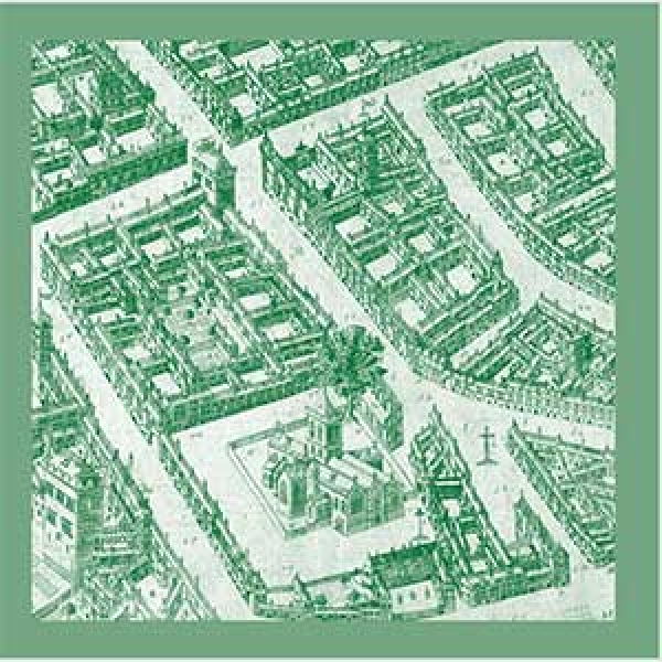
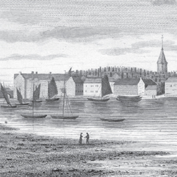
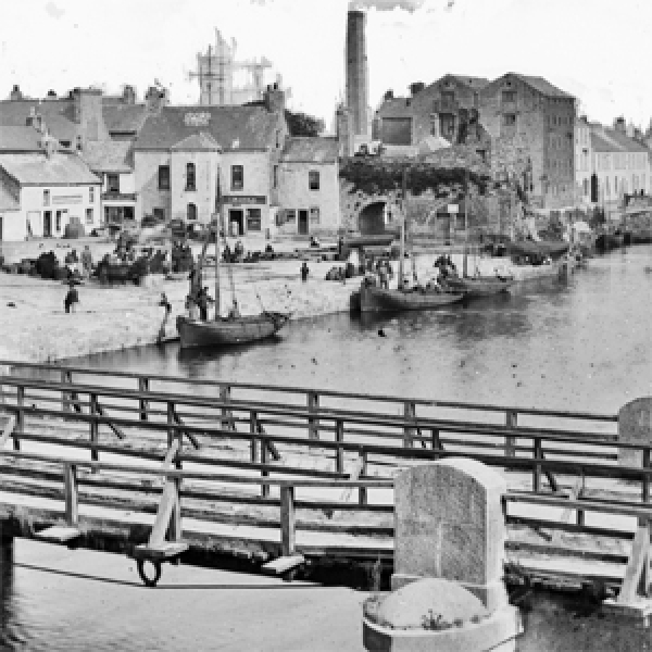
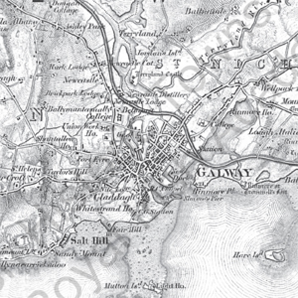
Irish Historic Towns Atlas Online: Galway
Irish Historic Towns Atlas no. 28 Galway/Gaillimh by Jacinta Prunty and Paul Walsh was originally published in 2016.
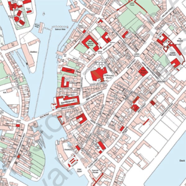
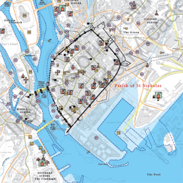
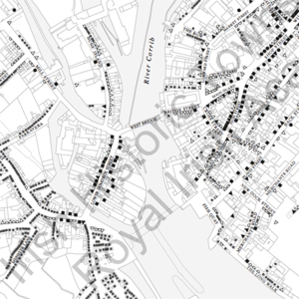
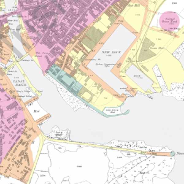
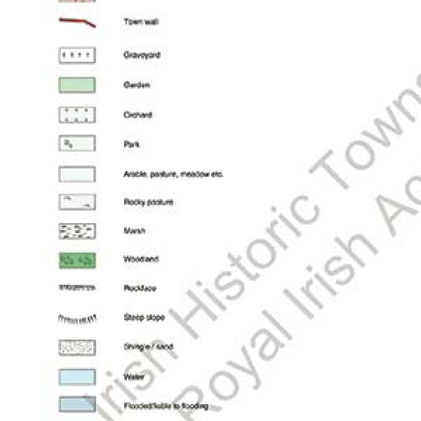
The online version contains the cover, general abbreviations, essay, topographical information, select bibliography, maps 1, 2, 3, 4, 5, 25, 28 and the legend sheet to map 2. Users are encouraged to reference this digital edition in their work. Each pdf includes a guide to citation and usage on its introductory page.
Due to copyright restrictions certain historical maps and images that are available in the printed atlases are not included in the digital edition. The full contents list of the published original is on page 2 of the cover so you can see what extra materials are available in the printed version. On page 3 of the cover you will also find a general introduction to the IHTA. The general abbreviations for the series is included as a separate pdf.
Michael Potterton, editor and lecturer in Maynooth University, offers his take on the Anglo-Norman town here with an analysis across a number of IHTA towns here.
Available also, is the chapter on the Anglo-Norman town from Reading the maps: a guide to the Irish Historic Towns Atlas by Jacinta Prunty and Howard Clarke (Dublin, Royal Irish Academy, 2011) where the town type is contextualised and case studies given.
The Digtial Atlas of Galway is an interactive map using layers of mapping and data from the topographical information on an ArcGIS database and is available to search and explore here.
Renaissance Galway: delineating the mid-seventeenth-century city (Dublin, Royal Irish Academy, 2019) by Paul Walsh was published as an ancillary publication to the atlas and focuses in on the magnificent Pictorial Map of Galway and is available to purchase here.