
Medieval Townscapes
30 May 2016IHTA Seminar 2016: Medieval Townscapes: comparative perspectives through the Irish and British historic towns atlases
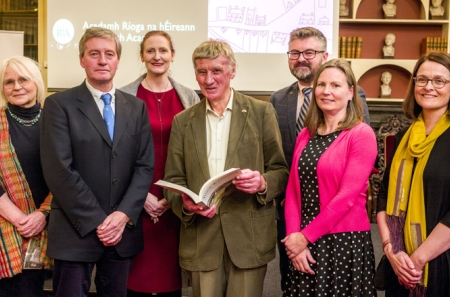
The 2016 annual seminar of the Irish Historic Towns Atlas (IHTA) was convened in collaboration with the British Historic Towns Atlas/Historic Towns Trust (HTT) and explored the similarities and differences to be found in the urban landscapes of our two neighbouring islands, reflecting on their shared and connected histories, as well as on the common purposes of the two atlas projects. Focusing on 'medieval townscapes', the 2016 seminar compared towns and cities of both Ireland and Britain using a thematic structure to consider how, despite the close geographical proximity of Ireland and Britain, their urban landscapes in the Middle Ages were shaped as much by local factors and influences as they were by common structures and concerns, such as religion, warfare, defence, lordship and commerce.
The seminar took place in Academy House, 19 Dawson Street, Dublin 2 on Friday, 20 May 2016.
Comparisons were made with Bristol and Galway; Kilkenny and Norwich; Limerick and York; Caernarfon and New Ross; London and Dublin.
The plenary session was delivered by Terry Slater (University of Birmingham): 'Comparing medieval towns in Britain and Ireland: a plan-analytical approach using the historic towns atlases'.
You might also like...

Raymond Gillespie MRIA
09 February 2024
We are deeply saddened by the death of our editor and colleague, Raymond Gillespie MRIA, on 8 February 2024.

New online Digital Atlas of Cork/Corcaigh launches today
05 December 2023Today marks the launch of the Digital Atlas of Cork/Corcaigh, a free online interactive map that invites you to discover the built heritage of Cork City in a new way where 6,245 features of the city's history from AD...
Town & Country launch and 'Mapping places, mapping people' lecture
23 November 2023Town & Country: perspectives from the Irish Historic Towns Atlas was launched by Vanessa Harding, chair, Historic Towns Trust last night following a lecture by Howard Clarke 'Mapping places, mapping people: Dublin...