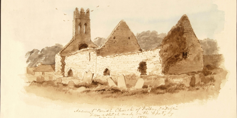
Surveying Dublin: Discover the nineteenth-century Ordnance Survey Letters and drawings of Dublin
The Ordnance Survey (OS) was established in 1824 to undertake a townland survey of Ireland and to map the entire country. This online interactive Story Map will bring together original OS letters and drawings from the Library’s collections and take us on a journey around nineteenth-century Co. Dublin.
This online exhibition has been created for the Dublin Festival of History.