Rathmines now published
07 October 2021Irish Historic Towns Atlas, Dublin suburbs series, no. 2 Rathmines by Séamas Ó Maitiú is now available.
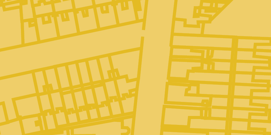
This new historical atlas of Rathmines explores the vibrant Dublin suburb through word, map and image. The emergence of Rathmines from village through township to suburb of Dublin is explained in a thoroughly researched text, illustrated with thematic maps, early views and photographs. A series of historic maps shows how the topography changed from medieval ráth to early modern castle, and from nineteenth century village to wealthy residential suburb, local government administrative centre and twentieth-century flatland. A gazetteer of over 1,000 sites and accompanying essay gives the detailed topographical history of Rathmines from earliest times up to c. 1970.
Rathmines is available for €35 and from all good bookshops.
Author Séamas Ó Maitiú gave a lecture 'Rathmines through time and space: from medieval rath to flatland' as part of the Dublin Festival of History on Thursday 7 October 2021 at 19:00.
You can watch the lecture here.
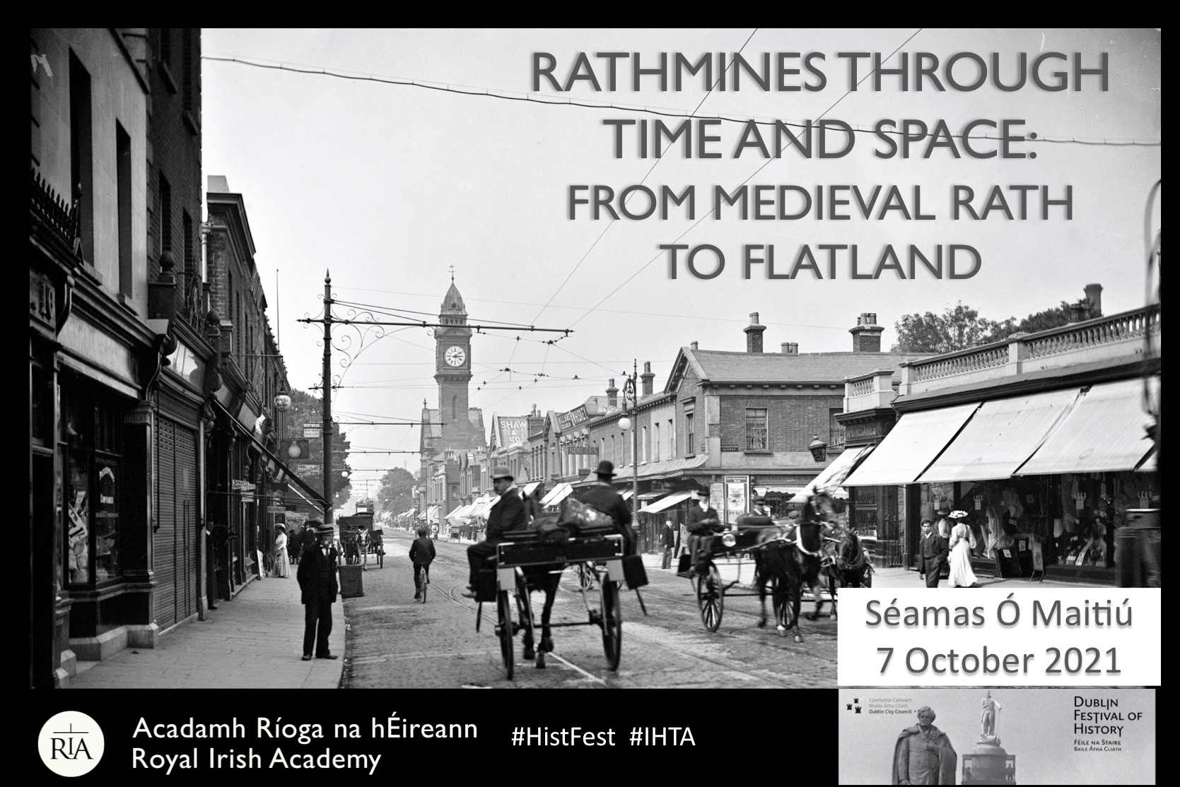
Rathmines by Séamas Ó Máitiú is the second in a series of atlases devoted to Dublin suburbs being produced by the Irish Historic Towns Atlas project in the Royal Irish Academy, in association with Dublin City Council. Clontarf by Colm Lennon was published in 2017.
You might also like...
'Making St Brigit real in the early middle ages' by Elva Johnston
01 February 2024Brigit has been treated differently to Irish male saints, becoming a secondary character in her own biographies, reductively overshadowed by a barely attested goddess.
Knowth megalithic art volume and related resources added to ‘Excavations at Knowth’ collection in the DRI
30 November 2023The megalithic art of the passage tombs at Knowth, County Meath, by George Eogan MRIA and Elizabeth Shee Twohig MRIA, is now available as an online, open access resource in the Digital Repository of Ireland.