
Raymond Gillespie MRIA
09 February 2024
We are deeply saddened by the death of our editor and colleague, Raymond Gillespie MRIA, on 8 February 2024.
The Royal Irish Academy/Acadamh Ríoga na hÉireann champions research. We identify and recognise Ireland’s world class researchers. We support scholarship and promote awareness of how science and the humanities enrich our lives and benefit society. We believe that good research needs to be promoted, sustained and communicated. The Academy is run by a Council of its members. Membership is by election and considered the highest academic honour in Ireland.
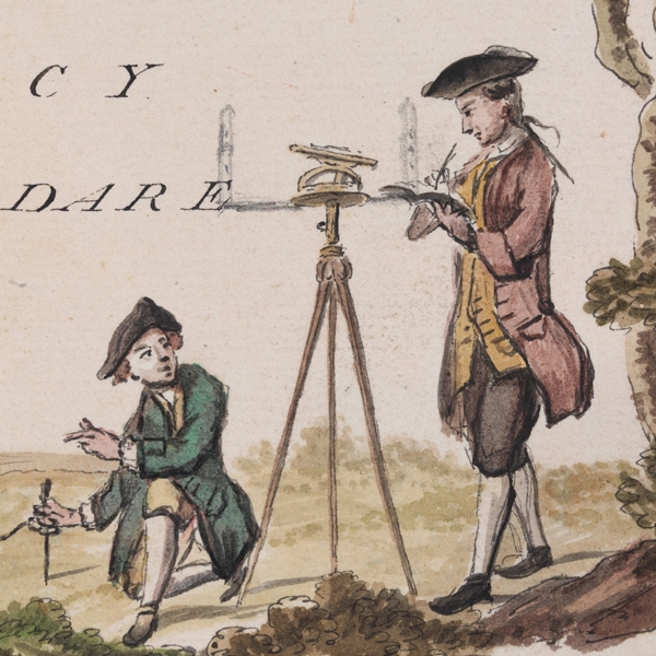
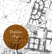
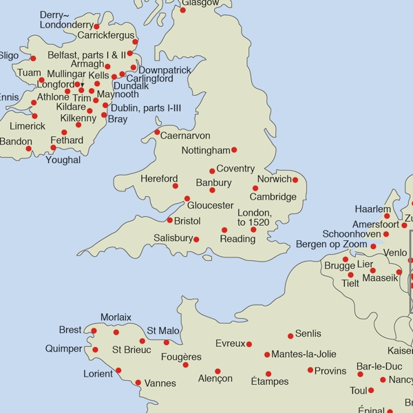
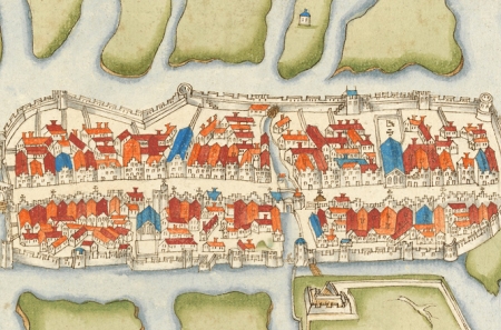
Read more about the RIAThe Irish Historic Towns Atlas (IHTA) was established in 1981. The aim of the programme is to record the topographical development of a selection of Irish towns both large and small. Each town is published separately as a fascicle or folder and includes a series of maps complemented by a detailed text section. The Irish Historic Towns Atlas is part of a wider European scheme, with towns atlases containing broadly similar information available for a number of countries. Thus Irish towns can be studied in their European context.
Read more about Irish Historic Towns Atlas
We are deeply saddened by the death of our editor and colleague, Raymond Gillespie MRIA, on 8 February 2024.

Today marks the launch of the Digital Atlas of Cork/Corcaigh, a free online interactive map that invites you to discover the built heritage of Cork City in a new way where 6,245 features of the city's history from AD...
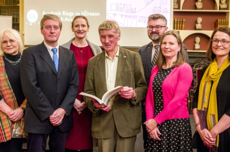
Town & Country: perspectives from the Irish Historic Towns Atlas was launched by Vanessa Harding, chair, Historic Towns Trust last night following a lecture by Howard Clarke 'Mapping places, mapping people: Dublin...
This event is fully booked, but a waiting list is in place. The annual IHTA Seminar, 'Marshland to Metropolitan City: exploring Cork through the Irish Historic Towns Atlas' will take place in Cork on 15 May 2024.