Cork / Corcaigh - pre-sale
Book Details
Published by Royal Irish Academy
May 2024
ISBN: 9781802050028
Downloads
Available from ria.ie on 3 May 2024! It may be pre-ordered now and will be shipped/available for click-and-collect from 3 May. Available in good book shops from 14 May.
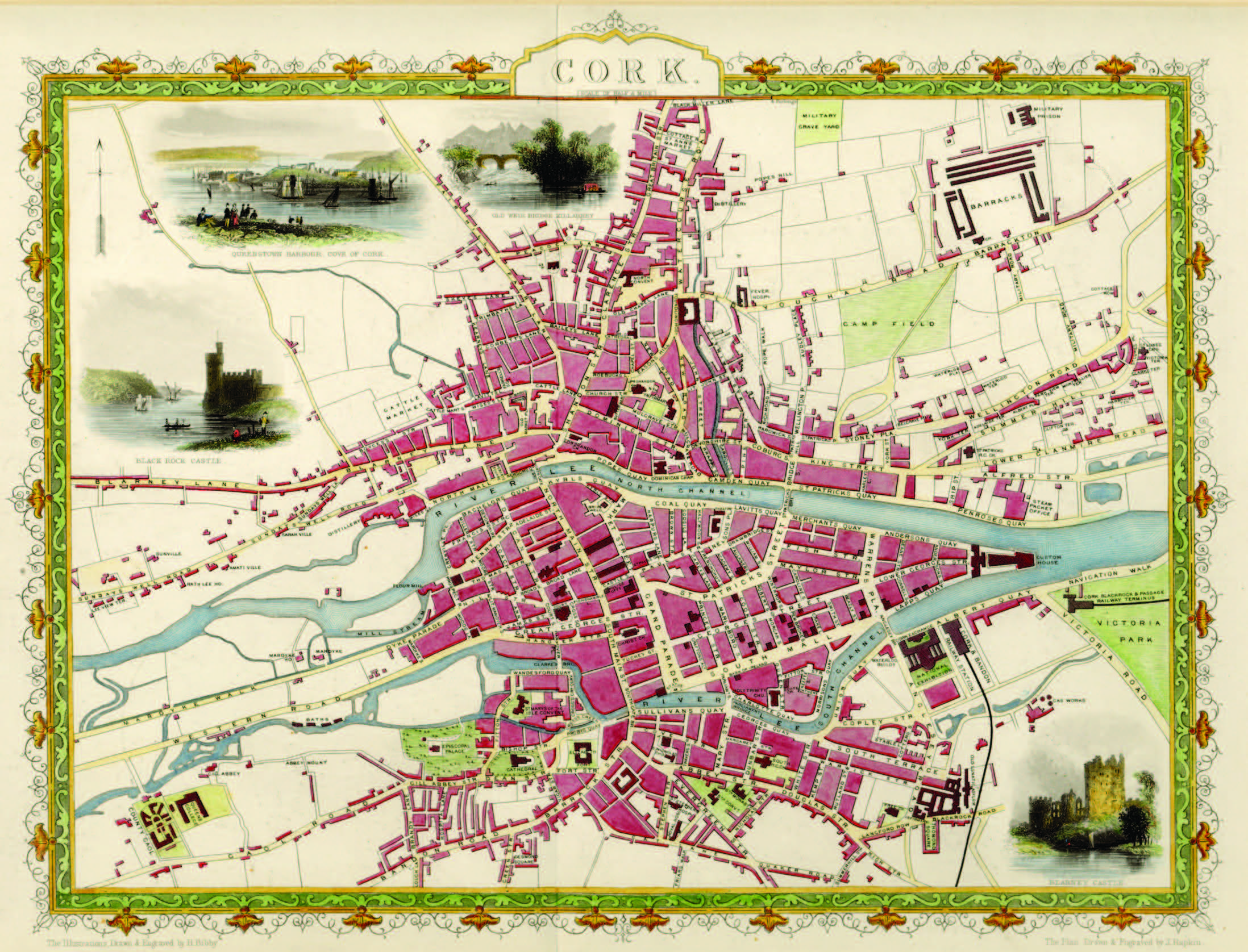
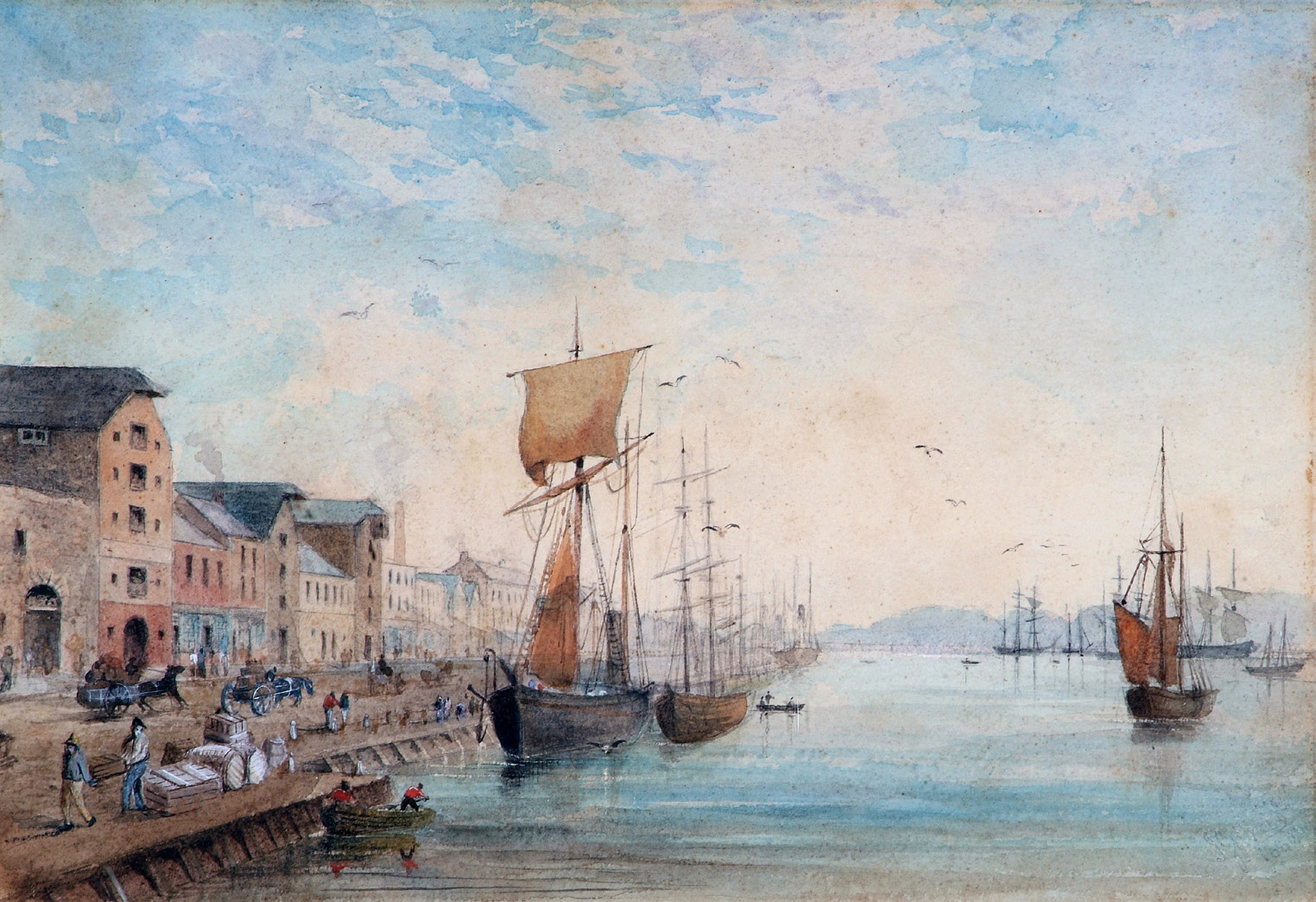
Map 28 would be suitable for framing. Cork, 1851, by John Rapkin (Private collection, Adrian Brady); 29 x 38 cm (Rapkin).
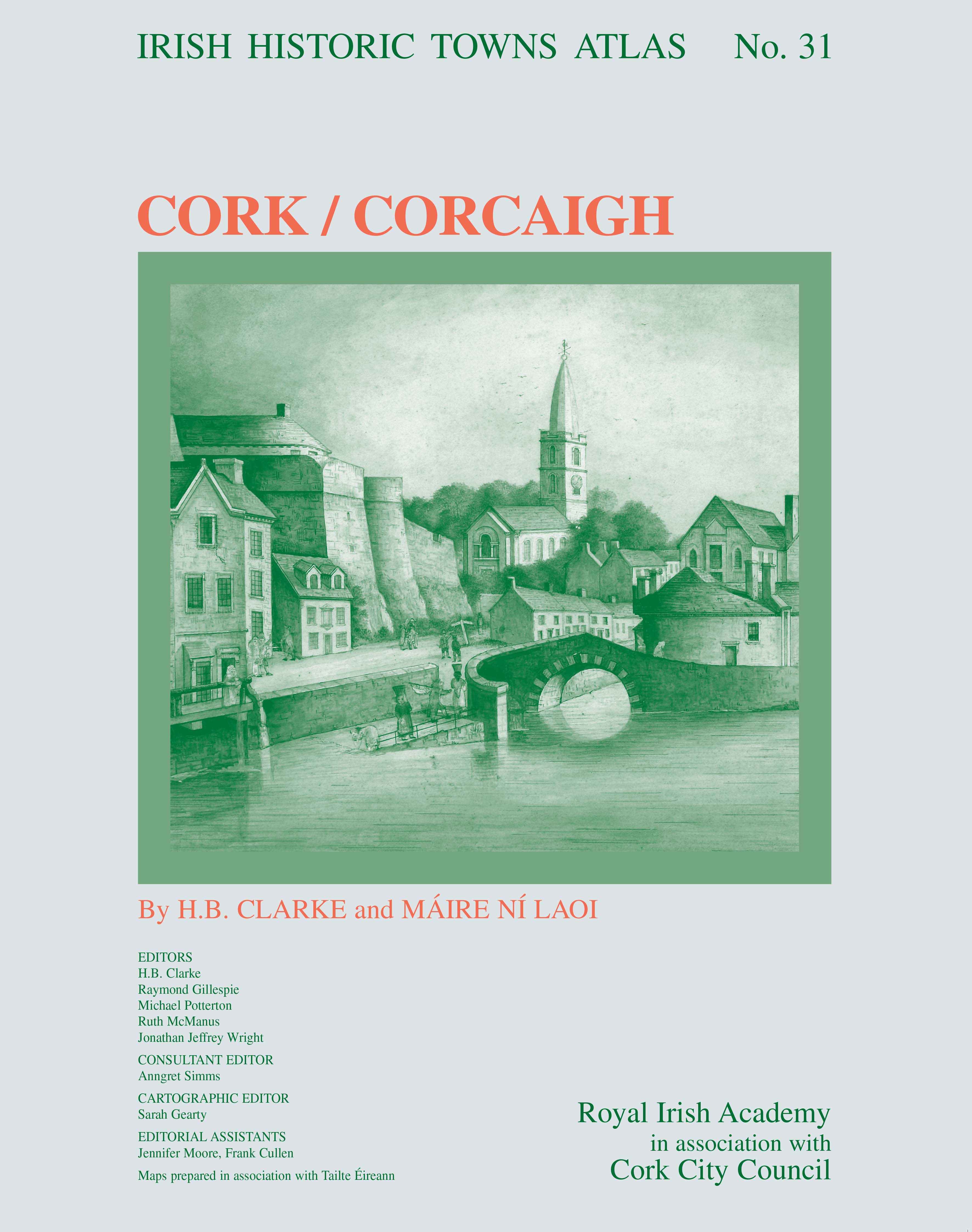
This new historical atlas of Cork will explore the city from its origins to the present day. The emergence of Cork from a monastic settlement on a marshland site through to the thriving city we know today is explained in a thoroughly researched text, illustrated with newly created thematic maps, early views and photographs. Historic maps are reproduced on large-format pages, showing how the topography transformed through time. A gazetteer of over 13,000 sites and an accompanying essay give the detailed topographical history of the city up to c. 1900.
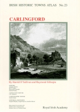
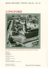
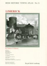
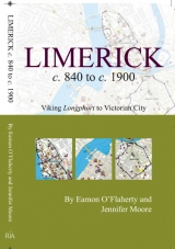
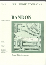
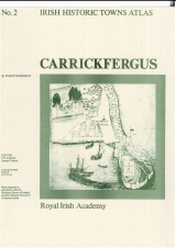
The Irish Historic Towns Atlas is a long-term research programme of the Royal Irish Academy. Since publication began in 1986, thirty atlases of Irish towns and cities, north and south, have been published. The atlases are produced following basic principles, making it possible to compare and contrast places with one another. Cork will join the cities of Dublin, Belfast, Galway and Limerick; and regional towns of Bandon and Youghal already covered in the Irish series; as well as over 580 European towns and cities produced as part of a wider International scheme. See www.ihta.ie for more information.
The Irish Historic Towns Atlas of Cork is published by the Royal Irish Academy in association with Cork City Council. Maps are produced in association with Tailte Éireann.
Authors: H.B. Clarke, Máire Ní Laoi
Editors: H.B. Clarke, Raymond Gillespie, Michael Potterton, Ruth McManus, Jonathan Jeffrey Wright
Consultant editor: Anngret Simms
Cartographic editor: Sarah Gearty
Editorial assistants: Jennifer Moore, Frank Cullen
Preview video
For Heritage Week, a video was produced ahead of the digital and printed atlas of Cork. The video was supported by the Heritage Council Stewardship Fund, in partnership with Cork City Council and produced by Frameworks Films.
‘Patrick’s Quay, Cork’, looking east, 1886, by John Gilbert Irish Historic Towns Atlas 2024 (Collection Crawford Art Gallery, Cork); size 21 x 31 cm (Gilbert).
About the authors

H.B. Clarke
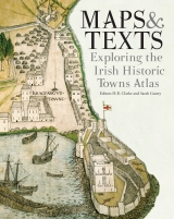
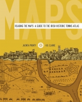
Howard B. Clarke is an editorial board member of the Irish Historic Towns Atlas, a research project of the Royal Irish Academy. He is Professor Emeritus of Medieval Socio-Economic History at University College Dublin. He is a member of the Royal Irish Academy and of the International Commission for the History of Towns. Amongst his publications are Irish Historic Towns Atlas, no. 11, Dublin, part I, to 1610 (2002), Reading the maps: a guide to the Irish Historic Towns Atlas (2011) with Jacinta Prunty and Maps and texts: exploring the Irish Historic Towns Atlas (2013), with joint editor Sarah Gearty, Lords and towns in Medieval Europe (2015), with joint editor Anngret Simms.

Máire Ní Laoi
Máire Ní Laoi is a retired secondary school teacher who specialised in Irish and French. She grew up in Cork and has had a long family association with the city. She is a graduate of UCC and carried out much of the initial research for the Irish Historic Towns Atlas of Cork.
Related News & Events


New online Digital Atlas of Cork/Corcaigh launches today
Today marks the launch of the Digital Atlas of Cork/Corcaigh, a free online interactive map that invites you to discover the built heritage of Cork City in a new way where 6,245 features of the city's history from AD 623 to 1900 are mapped.
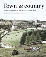
Town & Country launch and 'Mapping places, mapping people' lecture
Town & Country: perspectives from the Irish Historic Towns Atlas was launched by Vanessa Harding, chair, Historic Towns Trust last night following a lecture by Howard Clarke 'Mapping places, mapping people: Dublin and Dubliners' perspectives'