IHTA Towns in the eighteenth century now available online
24 April 2017Irish Historic Towns Atlases of Maynooth, Dundalk and Dublin, part II, 1610 to 1756 are now freely available to search or download.
Launch
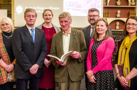
Colm Lennon MRIA, co-editor of the Irish Historic Towns Atlas Dublin suburbs series and author of Dublin, part II, 1610 to 1756 launched the latest in the IHTA Online series: Towns in the eighteenth century. It joins twenty other atlases under the themes of:
- Towns of Monastic Origin
- Towns of Viking Origin
- Towns of Anglo-Norman Origin
- Early modern, Gaelic and Plantation towns
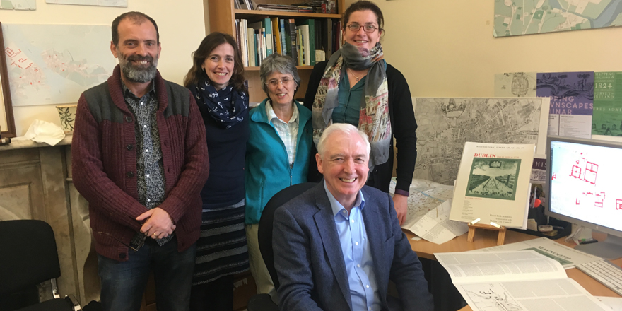
Irish Historic Towns Atlas team: LtoR Frank Cullen, Rachel Murphy, Jacinta Prunty, Jennifer Moore with Colm Lennon
Towns in the eighteenth century
The IHTA towns in the eighteenth century of no. 7 Maynooth by Arnold Horner (1995), no. 16 Dundalk by Harold O'Sullivan (2006) and no. 19 Dublin, part II, 1610 to 1756 by Colm Lennon (2008) are available to browse, download and compare with each other as well as with the other twenty towns already available online. Maynooth, Dundalk and Dublin experienced significant development during the eighteenth century due to a variety of reasons and influences. These changes are recorded in the atlases with maps and historical documentary evidence of thousands of sites.
To accompany this launch, the chapter on Towns in the eighteenth century from Reading the maps: a guide to the Irish Historic Towns Atlas (Dublin, 2011) is included so the reader can contextualise the town type and see different samples from different towns and case studies.
Included with each atlas is:
- The cover, general abbreviations, introduction and select bibliography
- Word searchable essay, text maps and topographical gazetteer
- Map 1 (mid-19th cent., 1:50,000), Map 2 (mid-19th cent., 1:2500), Map 3 (modern 20th/21st cent., 1:5000), growth maps, historical compilation maps (where available) and legend sheet.
Towns in the eighteenth century can be viewed here.
This project has been made possible by our collaboration with Eneclann who scanned our back catalogue of atlas for the online editions.
Due to copyright reasons, not all historical maps and views can be reproduced online, but are available in the print editions.
You might also like...

Raymond Gillespie MRIA
09 February 2024
We are deeply saddened by the death of our editor and colleague, Raymond Gillespie MRIA, on 8 February 2024.

New online Digital Atlas of Cork/Corcaigh launches today
05 December 2023Today marks the launch of the Digital Atlas of Cork/Corcaigh, a free online interactive map that invites you to discover the built heritage of Cork City in a new way where 6,245 features of the city's history from AD...
Town & Country launch and 'Mapping places, mapping people' lecture
23 November 2023Town & Country: perspectives from the Irish Historic Towns Atlas was launched by Vanessa Harding, chair, Historic Towns Trust last night following a lecture by Howard Clarke 'Mapping places, mapping people: Dublin...