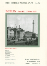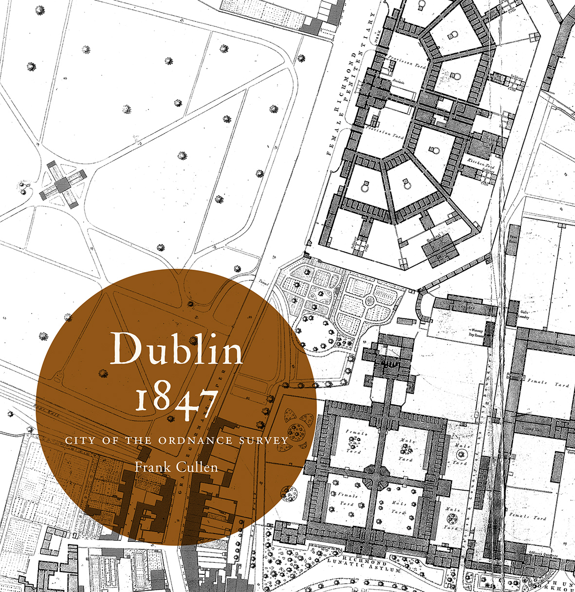
Dublin 1847: city of the Ordnance Survey
Book Details
Published by Royal Irish Academy
February 2015
Paperback / softbackNumber of pages: 108
ISBN: 9781908996350
The Ordnance Survey’s large-scale town plans for Dublin (1847) are the focus of this book. Forty-five extracts from these richly detailed maps depict the streets, lanes, buildings, gardens, yards and parks of the city with precision, to the extent that individual houses (with numbers), pumps, lamp posts and trees are shown. Author Frank Cullen considers selected features and areas of the mid-nineteenth-century city through the map extracts, using other sources to discuss the elements of urban life that lie behind maps. For example, the formal layout of Merrion Square with its fine buildings and notable residents is contrasted to the densely inhabited warren of lanes behind Mount Street, just minutes away. The impact of public buildings such as the Royal (later Collins’s) Barracks is impressively evident in the plan, while the associated professional and trading activities of the surrounding area are less obvious in the unlabelled rows of buildings along Montpellier Hill and Barrack (later Benburb) Street. The maps extracts and commentaries are accompanied by contemporary illustrations; and are preceded by an introductory essay on Dublin in 1847. This is an ancillary publication to the Dublin series from the Irish Historic Towns Atlas. ‘Dublin, part III, 1756 to 1847’ by Rob Goodbody is also available from the Royal Irish Academy. Author: Frank Cullen Series editors: Anngret Simms, H.B. Clarke, Raymond Gillespie, Jacinta Prunty; Consultant editor: J.H. Andrews; Cartographic editor: Sarah Gearty; Editorial assistants: Angela Murphy, Jennifer Moore, Frank Cullen.
The Irish Historic Towns Atlas is a research project of the Royal Irish Academy and is part of a wider European scheme. www.ihta.ie.
This book is also available on JSTOR. For more information, institutions can visit Books at JSTOR or contact participation@jstor.org.
You can buy the e-book here.
Solve our book cover jigsaw puzzle here.
About the authors

Frank Cullen
Frank Cullen is an editorial assistant with the Irish Historic Towns Atlas project in the Royal Irish Academy. He completed his PhD in history (Maynooth University, 2005) with a thesis entitled âLocal government and the management of urban space: a comparative study of Belfast and Dublin, 1830â1922â. He is the author of Dublin 1847:city of the Ordnance Survey (2015).
Related News & Events


New online Digital Atlas of Cork/Corcaigh launches today
Today marks the launch of the Digital Atlas of Cork/Corcaigh, a free online interactive map that invites you to discover the built heritage of Cork City in a new way where 6,245 features of the city's history from AD 623 to 1900 are mapped.
Town & Country launch and 'Mapping places, mapping people' lecture
Town & Country: perspectives from the Irish Historic Towns Atlas was launched by Vanessa Harding, chair, Historic Towns Trust last night following a lecture by Howard Clarke 'Mapping places, mapping people: Dublin and Dubliners' perspectives'