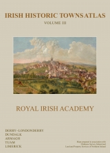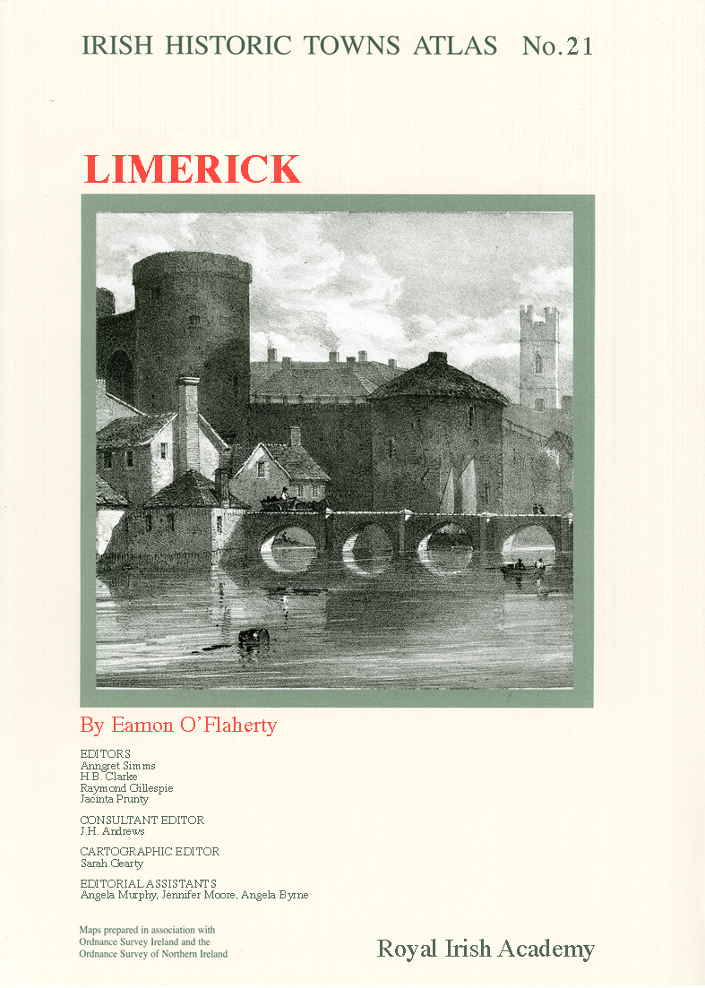
Limerick
Book Details
Published by Royal Irish Academy
January 2010
Mixed media product A product consisting of two or more items in different media or different product forms, eg book and CD-ROM, book and toy, hardback book and e-book, etc
ISBN: 9781904890553
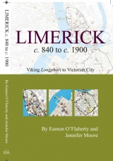
Number 21 in the ‘Irish Historic Towns Atlas’ series, Limerick, charts in words, maps and pictures the development of Limerick city from its Viking origins to 1900. Four thousand sites including churches, tower houses, ball alleys, granaries, bacon manufactories and department stores are recorded in the extensive topographical section capturing Limerick’s Viking foundations in the early ninth century, through the Anglo-Norman, medieval, early modern and modern periods. The introductory historical essay is illustrated with text maps of the Viking settlements and a conjectural early street, as well as a map of medieval Limerick that chronicles the line of the city walls and buildings. Vignettes of Limerick’s urban history are dotted throughout the text section. Limerick's prominence as a southern Irish port city means it has been densely mapped since the late sixteenth century. Assembled here are reconstructed Ordnance Survey plans from 1840, some 27 loose-sheet historical facsimiles, including Elizabethan maps from 1587 to 1590; John Speed’s 1610 map; the Pacata Hibernia from 1633; Webb’s 1651 map and various others. Water colours, ink sketches and photographs by renowned artists from the 17th to 20th century present dramatic views of a multilayered city. Fascicle with CD-ROM included.
Author: Eamon O'Flahery; Series editors: Anngret Simms, H.B. Clarke, Raymond Gillespie, Jacinta Prunty; Consultant editor: J.H. Andrews; Cartographic editor: Sarah Gearty; Editorial assistants: Angela Murphy, Jennifer Moore, Angela Byrne.
The Irish Historic Towns Atlas is a research project of the Royal Irish Academy and is part of a wider European scheme. www.ihta.ie.
About the authors

Eamon O'Flaherty
Related News & Events


New online Digital Atlas of Cork/Corcaigh launches today
Today marks the launch of the Digital Atlas of Cork/Corcaigh, a free online interactive map that invites you to discover the built heritage of Cork City in a new way where 6,245 features of the city's history from AD 623 to 1900 are mapped.
Town & Country launch and 'Mapping places, mapping people' lecture
Town & Country: perspectives from the Irish Historic Towns Atlas was launched by Vanessa Harding, chair, Historic Towns Trust last night following a lecture by Howard Clarke 'Mapping places, mapping people: Dublin and Dubliners' perspectives'