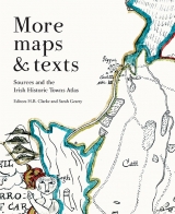
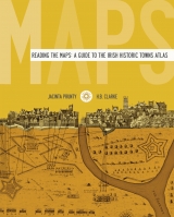
Maps & Texts. Exploring the Irish Historic Towns Atlas
Book Details
Published by Royal Irish Academy
May 2013
Paperback / softbackNumber of pages: 336
ISBN: 9781908996145
This book emerges from the 25 Irish Historic Towns Atlases published to date. It brings together their authors’ expertise and insights under the guidance of the editor, medieval historian H.B Clarke. With an attractive and highly readable design it explores what is unique about Irish towns and what is generic. Through comparisons it considers various categories of Irish urban life, how Ireland’s major towns and cities interacted and changed over time and why that might be so. It considers town morphology as a social process in the making of urban Ireland and its distinct personality.
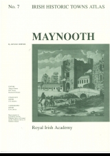
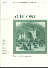
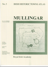
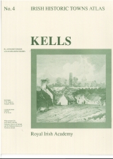
The book comprises 20 individual essays that offer new perspectives on urban life in Ireland. In the first section, pairs of comparable towns, and in one case three towns, are explored - Armagh and Kells, Kilkenny and Limerick, Kildare and Tuam, Ennis and Longford, Belfast and Derry~Londonderry, Athlone, Longford and Mullingar. The second section focuses on aspects of urban life such as religion, manufacturing and education. In the final section, three critiques open further ground, suggesting various approaches and tools for understanding towns and their history, shape and diversity.
‘Maps and Texts’ broadens the ways in which atlases might be used, making it suitable for second level students as well as for more focused scholars. The book is in full colour and illustrated with over 90 maps, reconstructions, views and photographs.
Editors: H.B. Clarke, Sarah Gearty; Series editors: Anngret Simms, H.B. Clarke, Raymond Gillespie, Jacinta Prunty; Consultant editor: J.H. Andrews; Cartographic editor: Sarah Gearty; Editorial assistants: Angela Murphy, Jennifer Moore.
The Irish Historic Towns Atlas is a research project of the Royal Irish Academy and is part of a wider European scheme. www.ihta.ie.
About the authors
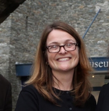
Sarah Gearty
Sarah Gearty is cartographic and managing editor of the Irish Historic Towns Atlas project. She has overseen the production of over 15 town atlases and several ancillary publications/projects. She was co-author on the atlas of Longford (2010, with Fergus O'Ferrall and Martin Morris) and co-editor of Maps and texts: exploring the Irish Historic Towns Atlas (with H.B. Clarke, 2013).

H.B. Clarke
Howard B. Clarke is an editorial board member of the Irish Historic Towns Atlas, a research project of the Royal Irish Academy. He is Professor Emeritus of Medieval Socio-Economic History at University College Dublin. He is a member of the Royal Irish Academy and of the International Commission for the History of Towns. Amongst his publications are Irish Historic Towns Atlas, no. 11, Dublin, part I, to 1610 (2002), Reading the maps: a guide to the Irish Historic Towns Atlas (2011) with Jacinta Prunty and Maps and texts: exploring the Irish Historic Towns Atlas (2013), with joint editor Sarah Gearty, Lords and towns in Medieval Europe (2015), with joint editor Anngret Simms.
Related News & Events


New online Digital Atlas of Cork/Corcaigh launches today
Today marks the launch of the Digital Atlas of Cork/Corcaigh, a free online interactive map that invites you to discover the built heritage of Cork City in a new way where 6,245 features of the city's history from AD 623 to 1900 are mapped.
Town & Country launch and 'Mapping places, mapping people' lecture
Town & Country: perspectives from the Irish Historic Towns Atlas was launched by Vanessa Harding, chair, Historic Towns Trust last night following a lecture by Howard Clarke 'Mapping places, mapping people: Dublin and Dubliners' perspectives'