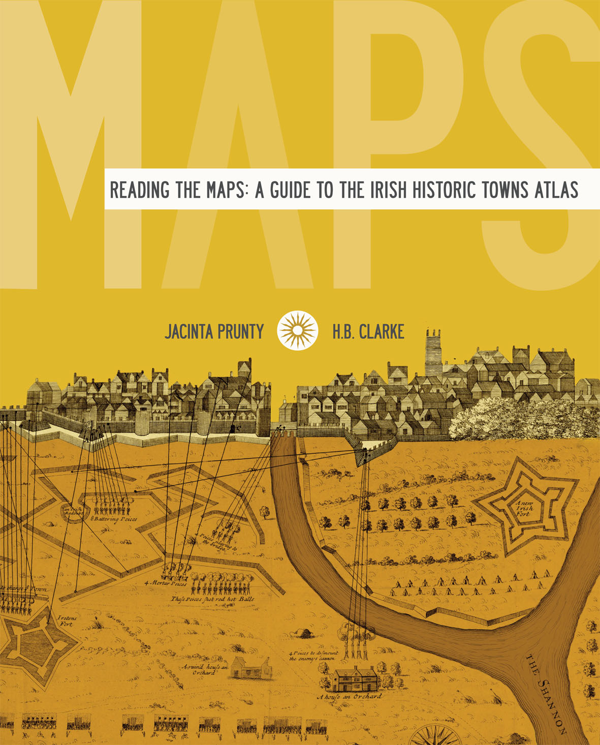
Reading the maps: a guide to the Irish Historic Towns Atlas
Book Details
Published by Royal Irish Academy
May 2011
Paperback / softbackNumber of pages: 264
ISBN: 9781904890706
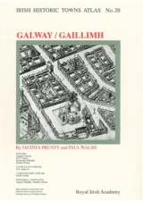
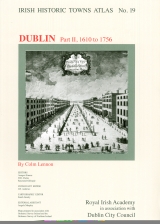
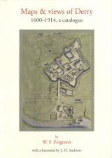
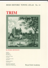
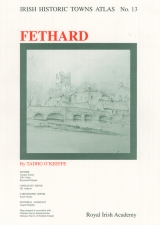
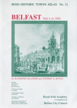
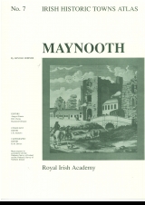
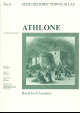
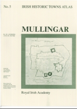
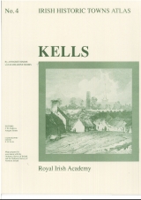
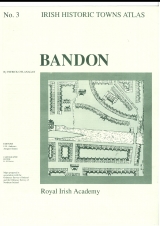
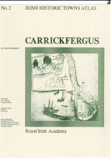
Reading the Maps is a textbook companion to the Irish Historic Towns Atlas, the successful series which documents and assesses the evolution of Irish towns. To date, over 27 published atlases, three bound volumes and ten ancillary publications supply comparative, thematic and specialised studies of Irish urban history. Various town types, from monastic to Viking to modern, illustrate the origins of urban culture portraying similarities and differences across the island of Ireland. This book picks from the best of the atlases. It is richly designed with maps and views taken from the IHTA series along with exercises and summaries that allow for accessible reading and interaction. Reading the Maps is a vibrant production geared towards teachers and users of the atlas from primary school through to post-graduate students.
Authors: Jacinta Prunty, H.B. Clarke
Series editors: Anngret Simms, H.B. Clarke, Raymond Gillespie, Jacinta Prunty; Consultant editor: J.H. Andrews; Cartographic editor: Sarah Gearty; Editorial assistants: Angela Murphy, Jennifer Moore.
The Irish Historic Towns Atlas is a research project of the Royal Irish Academy and is part of a wider European scheme. www.ihta.ie.
Solve our book cover jigsaw puzzle here.
About the authors

H.B. Clarke
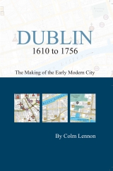
Howard B. Clarke is an editorial board member of the Irish Historic Towns Atlas, a research project of the Royal Irish Academy. He is Professor Emeritus of Medieval Socio-Economic History at University College Dublin. He is a member of the Royal Irish Academy and of the International Commission for the History of Towns. Amongst his publications are Irish Historic Towns Atlas, no. 11, Dublin, part I, to 1610 (2002), Reading the maps: a guide to the Irish Historic Towns Atlas (2011) with Jacinta Prunty and Maps and texts: exploring the Irish Historic Towns Atlas (2013), with joint editor Sarah Gearty, Lords and towns in Medieval Europe (2015), with joint editor Anngret Simms.
Jacinta Prunty
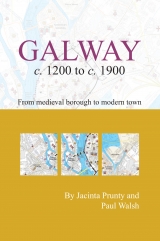
Jacinta Prunty is an editorial board member of the Irish Historic Towns Atlas, a research project of the Royal Irish Academy. She is Head of the History Department at Maynooth University. Her research interests span urban, social and cartographic history with a particular focus on the mapping of towns and on the town itself in nineteenth and twentieth century Ireland. She is joint author with Howard B. Clarke of Reading the maps: a guide to the Irish Historic Towns Atlas (2011) and Galway c. 1200 to c. 1900: from medieval borough to modern city (2015) with Paul Walsh.
Related News & Events


New online Digital Atlas of Cork/Corcaigh launches today
Today marks the launch of the Digital Atlas of Cork/Corcaigh, a free online interactive map that invites you to discover the built heritage of Cork City in a new way where 6,245 features of the city's history from AD 623 to 1900 are mapped.
Town & Country launch and 'Mapping places, mapping people' lecture
Town & Country: perspectives from the Irish Historic Towns Atlas was launched by Vanessa Harding, chair, Historic Towns Trust last night following a lecture by Howard Clarke 'Mapping places, mapping people: Dublin and Dubliners' perspectives'