Digital Atlas of Dungarvan
Digital Atlas of Dungarvan is launched as part of Heritage Week 2020
The theme of National Heritage Week 2020 was ‘Heritage and Education: Learning from our Heritage’. In the spirit of sharing experience and knowledge, the Digital Atlas of Dungarvan has been developed under the topic of ‘Heritage on your doorstep’. Based on content for Irish Historic Towns Atlas, no. 30, Dungarvan/Dún Garbhán by John Martin (December, 2020), the Digital Atlas is an interactive map that invites online visitors to discover Dungarvan in a new way by exploring town plans of different dates and detailed historical information for over 640 sites.
To launch the Digital Atlas of Dungarvan click here.
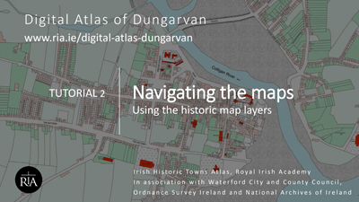
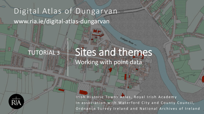
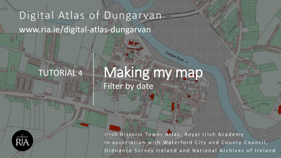
To watch the Story Map of instructions and video tutorials, click here.
The Digital Atlas of Dungarvan is produced by the Irish Historic Towns Atlas, Royal Irish Academy and has been supported by partners Waterford County Council, Ordnance Survey Ireland and the National Archives of Ireland.
The Digital Atlas of Dungarvan is freely available to explore online on. A press release is available here.
Documentation
Click here for information about the Digital Atlas of Dungarvan.
Click here for sources used in the Digital Atlas of Dungarvan.
Click here for a user guide to the Digital Atlas of Dungarvan.
Reviews
Click here for a review in the Dungarvan Observer.
Click here for a review in WaterfordNow.ie.
Video tutorials